station selector
quick facts
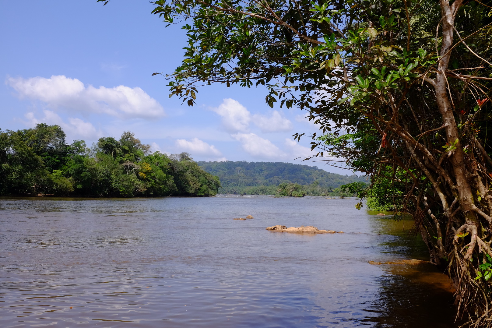
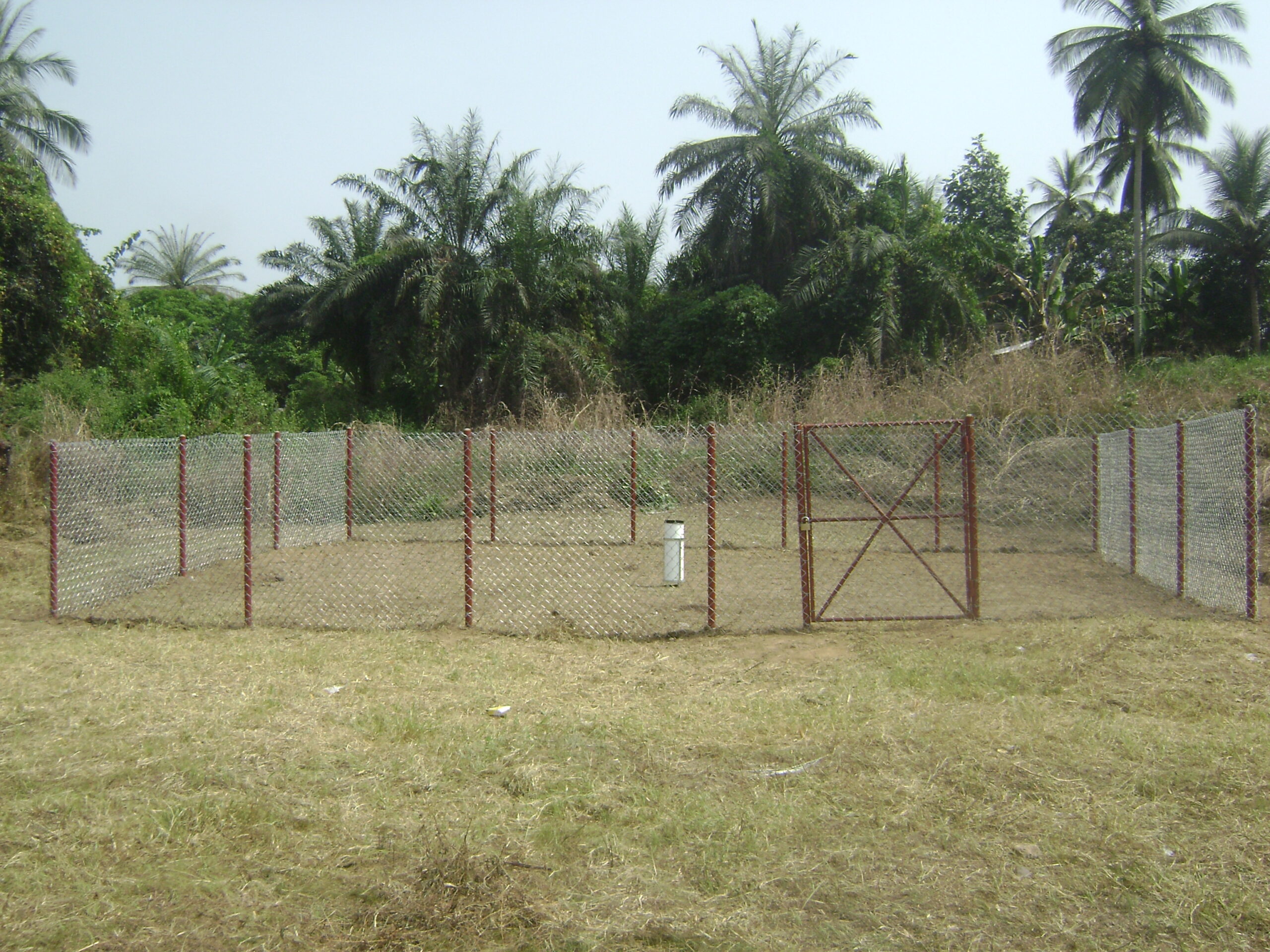
Mano River at Mano Kongo
| Area | 5514 km2 |
| Stream Length | 297 km |
| Start Date | 21-12-2015 |
| End Date | 7/3/2026 |
| Mean Flow | 221.76 m3/s |
| Mean Annual Catchment Runoff | 1268 mm |
| Mean Specific Flow | 40 l/s/km2 |
| Minimum daily flow | 2.59 m3/s, 20-03-2019 |
| Maximum daily flow | 1741.82 m3/s, 07-09-2019 |
| Water Year | May to April |
data explorer
station facts
data download
gallery
annual
monthly
daily
Mano River at Mano Kongo
Average annual streamflow (m3/s)
(m3/s)
water year (may to april)
difference from mean annual streamflow (m3/s)
(m3/s)
water year (may to april)
mean monthly streamflow (m3/s)
(m3/s)
water year (may to april)
percentage of mean annual flow volume (%)
(%)
water year (may to april)
average daily streamflow (m3/s)
(m3/s)
daily flow duration curve (m3/s)
(m3/s)
Mano River at Mano Kongo
| Basin | 01 Mano |
| River | Mano |
| Station | Mano Kongo |
| LHS ID | 01MA003 |
| Location | 11.1433333 °N 7.32752778 °W |
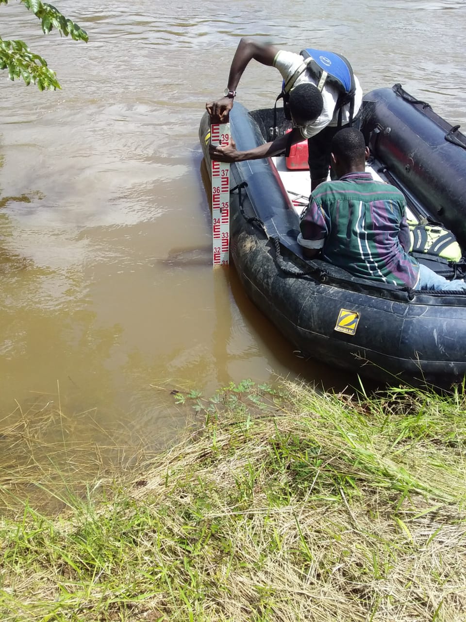
| Gauge | Manual staff gauge, from 17.05.2016 additional OTT Orpheus Mini pressure sensor |
| Rating Curve | Rating Curve developed with 22 flow measurements within the range 12.9m3/s to 493m3/s |
| Area | 5514 km2 |
| Stream Length | 297 km |
| Max elevation | 1445 m |
| Min elevation | 86 m |
| Start Date | 21-12-2015 |
| End Date | 7/3/2026 |
| Mean Annual Catchment Runoff | 1268 mm |
| Mean Specific Flow | 40 l/s/km2 |
| Water Year | May to April |
To download data please fill in the fields below