station selector
quick facts
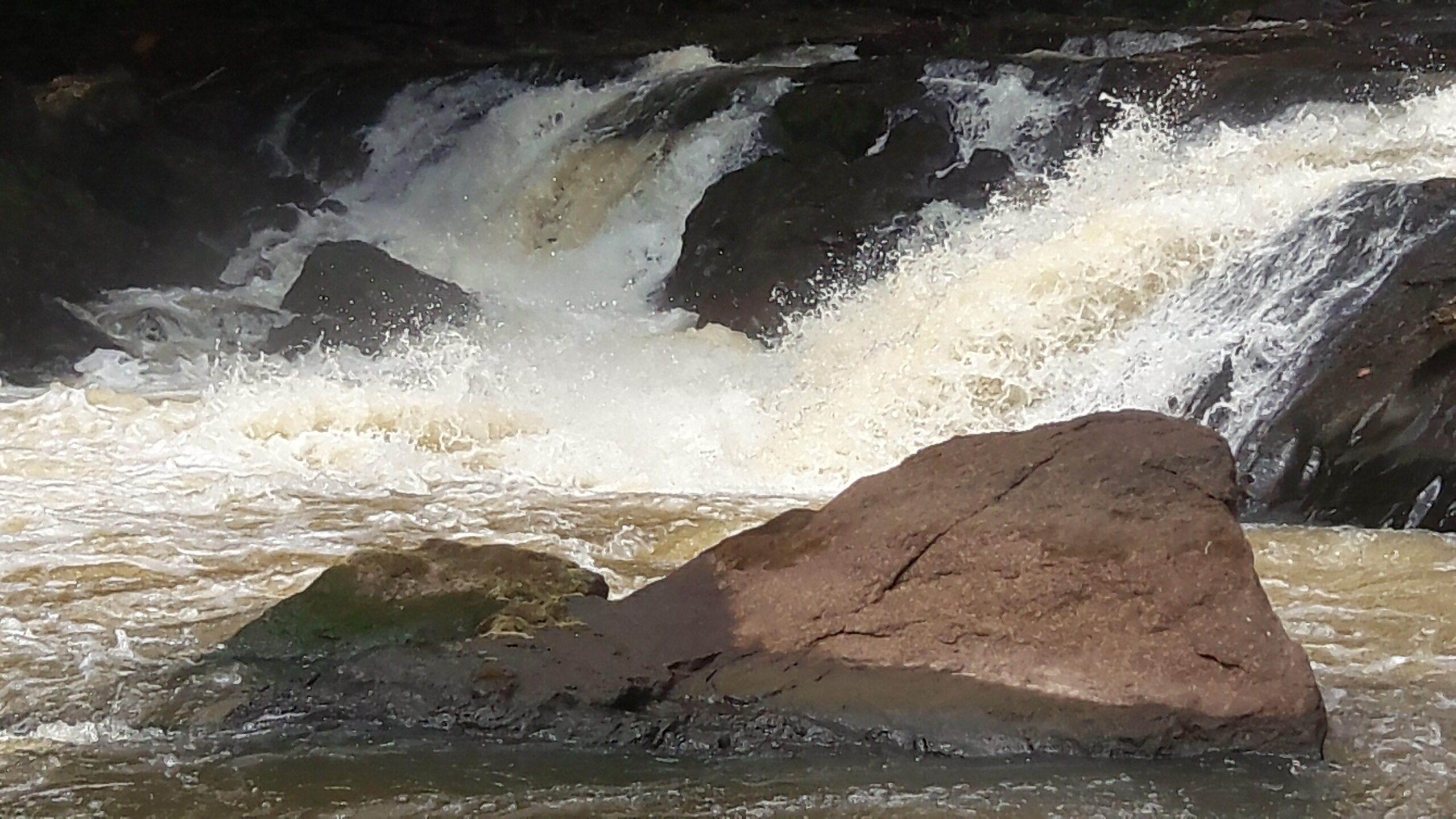
Kaiha River at Mbaloma
| Area | 961 km2 |
| Stream Length | 114 km |
| Start Date | 24-05-18 |
| End Date | 11-05-21 |
| Mean Flow | 41.145 m3/s |
| Mean Annual Catchment Runoff | 1350 mm |
| Mean Specific Flow | 43 l/s/km2, |
| Minimum daily flow | 1.252 m3/s, 19-03-2019 |
| Maximum daily flow | 489.567 m3/s, 31-07-2019 |
| Water Year | May to April |
data explorer
station facts
data download
gallery
annual
monthly
daily
Kaiha River at Mbaloma
Average annual streamflow (m3/s)
(m3/s)
water year (may to april)
difference from mean annual streamflow (m3/s)
(m3/s)
water year (may to april)
mean monthly streamflow (m3/s)
(m3/s)
water year (may to april)
percentage of mean annual flow volume (%)
(%)
water year (may to april)
average daily streamflow (m3/s)
(m3/s)
daily flow duration curve (m3/s)
(m3/s)
Kaiha River at Mbaloma
| Basin | 01 Mano |
| River | Kaiha River |
| Station | Kaiha River at Mbaloma |
| LHS ID | 01MA004 |
| Location | 10.21152 °N 8.00272 °W |
| Gauge | Manual staff gauge |
| Rating Curve | Rating Curve developed with 7 flow measurements within the range 2.10m3/s to 89.8m3/s |
| Area | 961 km2 |
| Stream Length | 114 km |
| Max elevation | 1445 m |
| Min elevation | 450 m |
| Start Date | 24-05-18 |
| End Date | 11-05-21 |
| Gap-filled | 0% |
| Mean Annual Catchment Runoff | 1350 mm |
| Mean Specific Flow | 43 l/s/km2, |
| Water Year | May to April |
To download data please fill in the fields below